Spatial Analysis and Mapping with R
Welcome
Welcome to the tutorial “Spatial Analysis and Mapping with R”!
Click to download a copy of this tutorial as a PDF file(1) (updated Mar. 12, 2022 ; file size: 7 MB) or continue to read online
Individual Chapter and Section Downloads
Use the following links to download PDF files of individual chapters and sections.
Table of Content (updated Mar. 12, 2022) Get PDF
List of Figures (updated Mar. 12, 2022) Get PDF
Preface (updated Mar. 12, 2022) Get PDF or Read online
Chapter 1: Service Deserts (updated Oct. 03, 2021 ) Get PDF or Read online
Chapter 2: Coordinate Reference Systems (updated Oct. 03, 2021 ) Get PDF or Read online
Chapter 3: Data (updated Oct. 03, 2021 ) Get PDF or Read online
Chapter 4: Data Import and Wrangling (updated Oct. 03, 2021 ) Get PDF or Read online
Chapter 5: Spatial Analysis—Part 1 (updated Oct. 03, 2021 ) Get PDF or Read online
Chapter 6: Spatial Analysis—Part 2 (updated Oct. 03, 2021 ) Get PDF or Read online
Bibliography (updated Oct. 03, 2021 ) Get PDF or Read online
Appendix A (updated Oct. 03, 2021 ) Get PDF or Read online
Appendix B (updated Mar. 12, 2022) Get PDF or Read online
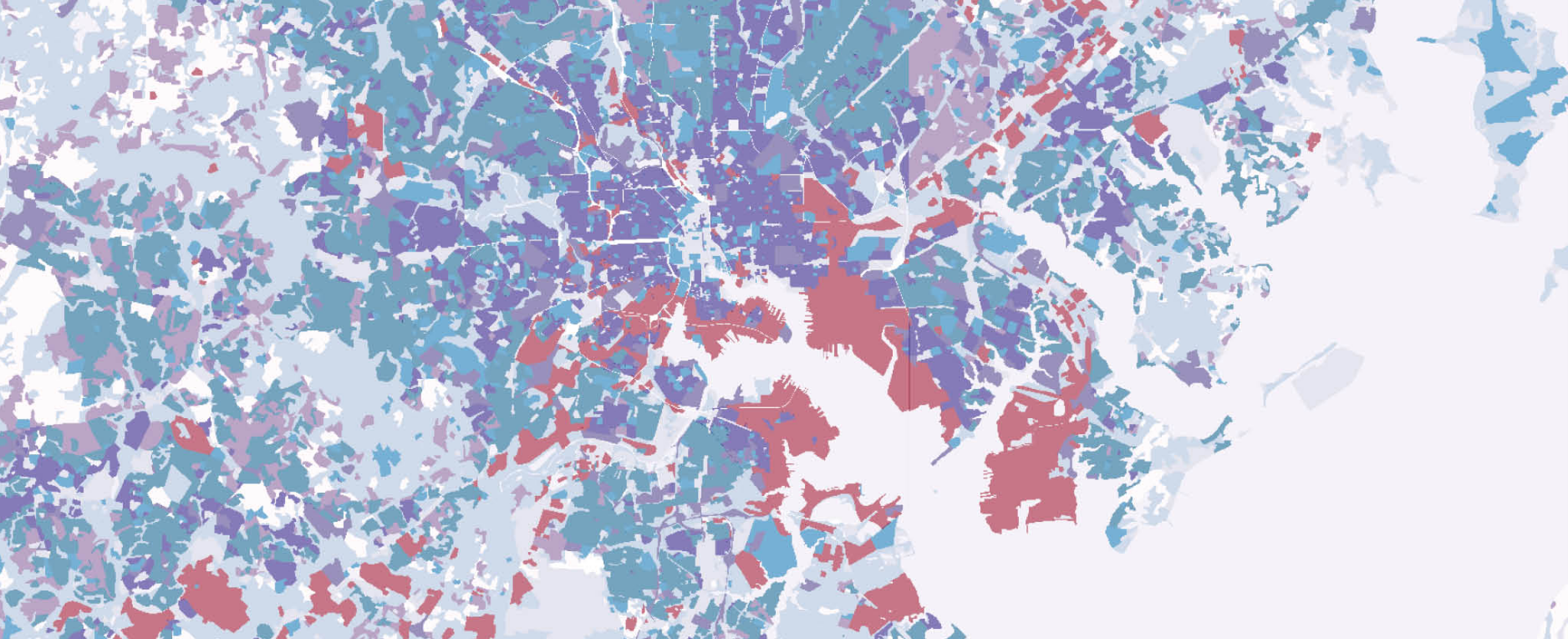
Cover image: Land Use in Greater Baltimore (2002). Data source: Maryland Archived Land Use Land Cover 2002, Maryland Department of Planning, online at https://data.imap.maryland.gov/datasets/96116be90edb4e8d933048f345c3a487?geometry=-79.386\%2C38.060\%2C-75.096\%2C39.558\#www.mdp.state.md.us/OurWork/landuse.shtml (accessed on April 17, 2021).
(1) PDF generated with bookdown
