Book Title: Spatial Analysis and Mapping with R: A Short Tutorial
Edited by Nett Smith
Contents
Book Information
License

Spatial Analysis and Mapping with R: A Short Tutorial Copyright © 2021 by Wolf T. Pecher is licensed under a Creative Commons Attribution-NonCommercial-ShareAlike 4.0 International License, except where otherwise noted.
Subject
Data capture and analysis
Metadata
-
Spatial Analysis and Mapping with R: A Short Tutorial Copyright © 2021 by Wolf T. Pecher is licensed under a Creative Commons Attribution-NonCommercial-ShareAlike 4.0 International License, except where otherwise noted.
Spatial Analysis with R: A Short Tutorial by Wolf T. Pecher is licensed under a Creative Commons Attribution-NonCommercial-ShareAlike 4.0 International License, except where otherwise noted.
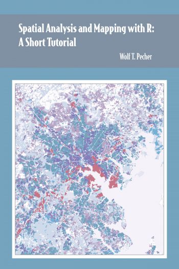
Cover image: Land Use in Greater Baltimore (2002).
Data Source: Maryland Archived Land Use Land Cover 2002, Maryland Department of Planning (Metadata)
Spatial Analysis with R: A Short Tutorial by Wolf T. Pecher is licensed under a Creative Commons Attribution-NonCommercial-ShareAlike 4.0 International License, except where otherwise noted.
Cover image: Land Use in Greater Baltimore (2002).
Data Source: Maryland Archived Land Use Land Cover 2002, Maryland Department of Planning (Metadata)